Aerial Mapping & Remote Sensing
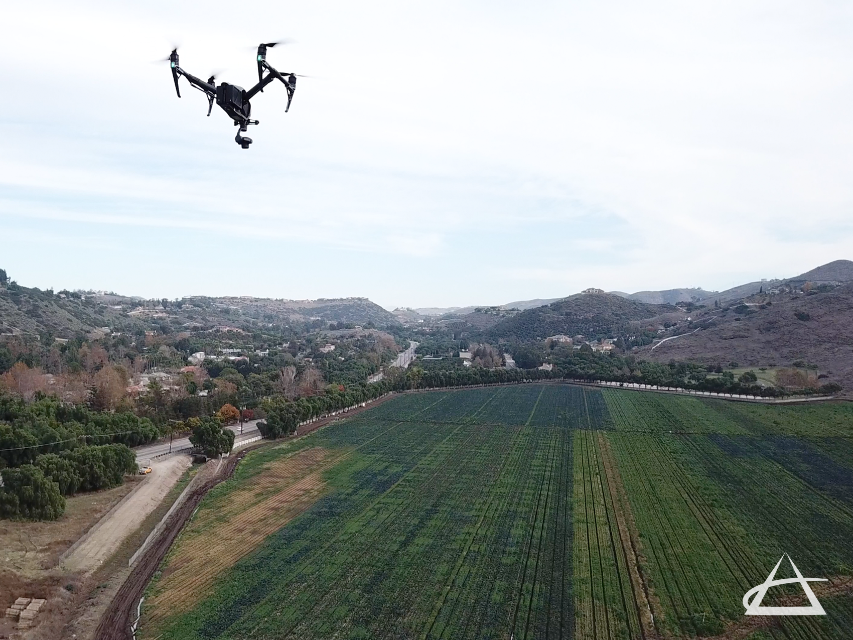
At EPOCH, we excel in aerial mapping, a sophisticated form of remote sensing that involves collecting aerial photographs and LiDAR data using planes, unmanned aerial system (UAS) drones, and satellite imagery. These data collection methods capture images from altitudes ranging from 100 feet to as high as 60,000 feet, providing extensive coverage of project sites. The captured orthographic photos are meticulously stitched together and distortion-corrected through a process known as orthorectification, resulting in high-quality ortho-mosaics. These orthorectified images serve as precise base maps for various applications and can be draped over 3D surfaces for enhanced visualization.
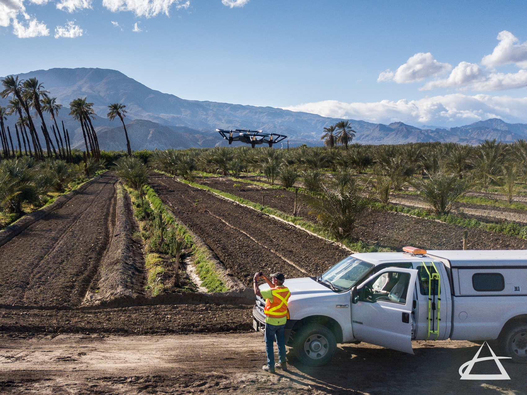
Our commitment to quality begins with meticulous planning of the initial survey, ensuring compliance with governmental regulations and project-specific restrictions. EPOCH utilizes professional-grade UAS drones equipped with high-resolution digital cameras and LiDAR capabilities. For larger mapping projects, we employ fixed-wing drones or aircraft to collect accurate data and imagery. The high-resolution images captured by our UAS drones reveal surface features that are often invisible on traditional maps or difficult to discern from the ground.
The collected imagery and remote sensing data undergo rigorous processing using advanced software and analysis by our professional mapping technicians. This geospatial data processing converts raw data into precise maps and 3D surface models efficiently. EPOCH has extensive experience in producing topographic and planimetric maps, digital terrain models, parcel mapping, and more.
Our services cater to a diverse clientele, including engineers, architects, attorneys, land developers, energy and utility companies, mining operations, and forestry agencies. We pride ourselves on delivering high-accuracy data and imagery that support a wide range of industrial and governmental applications.