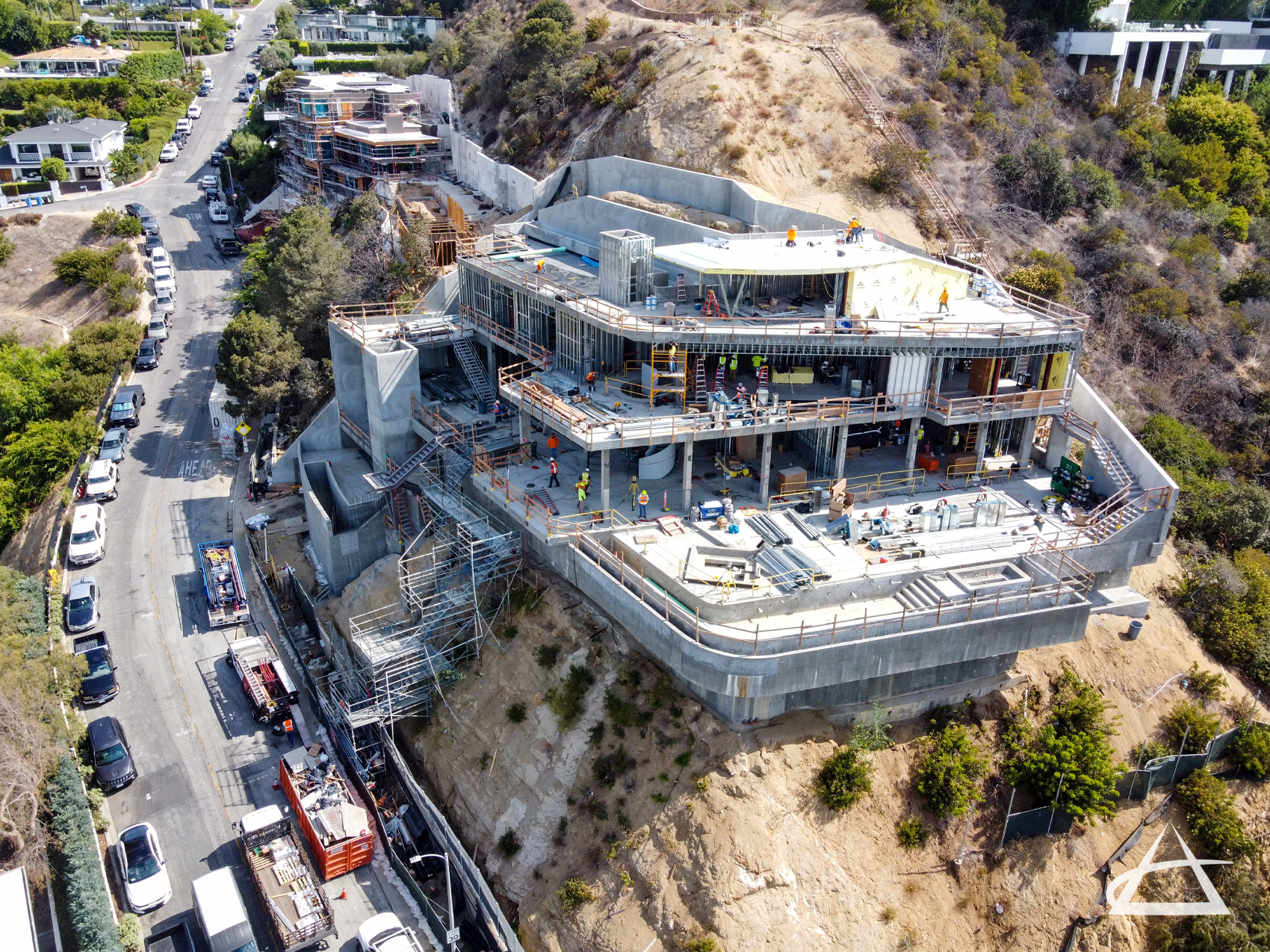
As-Built & Design Surveys
The land surveyors at EPOCH have extensive expertise in creating as-built maps and design survey drawings that accurately depict the positions and elevations of existing permanent site features. These features include, but are not limited to, buildings, walls, structures, utilities, light poles, manholes, fences, ground surfaces, and grading. Tailored to each project’s specifications, these maps serve as a foundational tool for engineering and architectural design projects and formal plan designs.
An as-built survey details the actual horizontal and vertical locations of features in a completed structure or project. These surveys are essential for a variety of projects, including interim design and shop drawings required for governmental submittals. They provide a precise record of the built environment, ensuring that the completed work aligns with the original design and specifications.
EPOCH has conducted thousands of surveys for design professionals in both the public and private sectors. Our extensive knowledge of design survey requirements enables us to deliver accurate and reliable mapping services. We utilize state-of-the-art equipment and advanced techniques to ensure that each project’s specific needs are met with the highest level of precision.