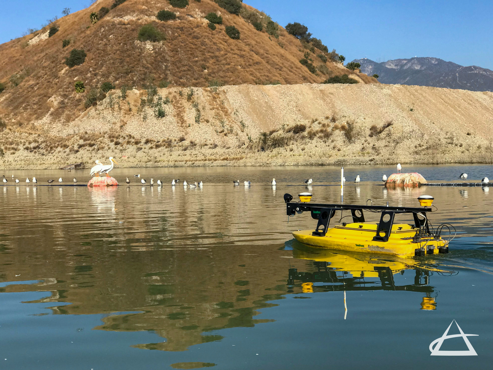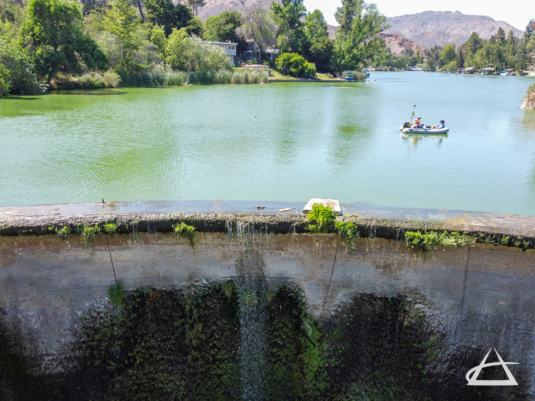
Bathymetric Surveys
EPOCH provides comprehensive bathymetric and hydrographic surveys to determine water depths and map the topographic features of the seafloor, lake floors, river bottoms, and quarries. Utilizing both manned and unmanned vessels equipped with dual-frequency and multibeam echo sounders connected to GPS, we precisely measure water surfaces and subsurface land formations. This data is seamlessly integrated into shoreline mapping, defining water surface and depth limits, and identifying geodetic locations of underwater land formations. Bathymetric maps, akin to topographic maps, display surface contours and elevations, offering a clear depiction of underwater features.
Bathymetric surveys are essential for mapping underwater topography that is typically not visible, providing vital information to manage bodies of water, monitor changing surfaces for studies and engineering designs, assess valuable environmental resources, and equip municipalities, agencies, and private sector operations with the necessary maps to understand subaqueous environments. These surveys support various applications, from environmental conservation to infrastructural development, ensuring accurate and reliable data for informed decision-making.