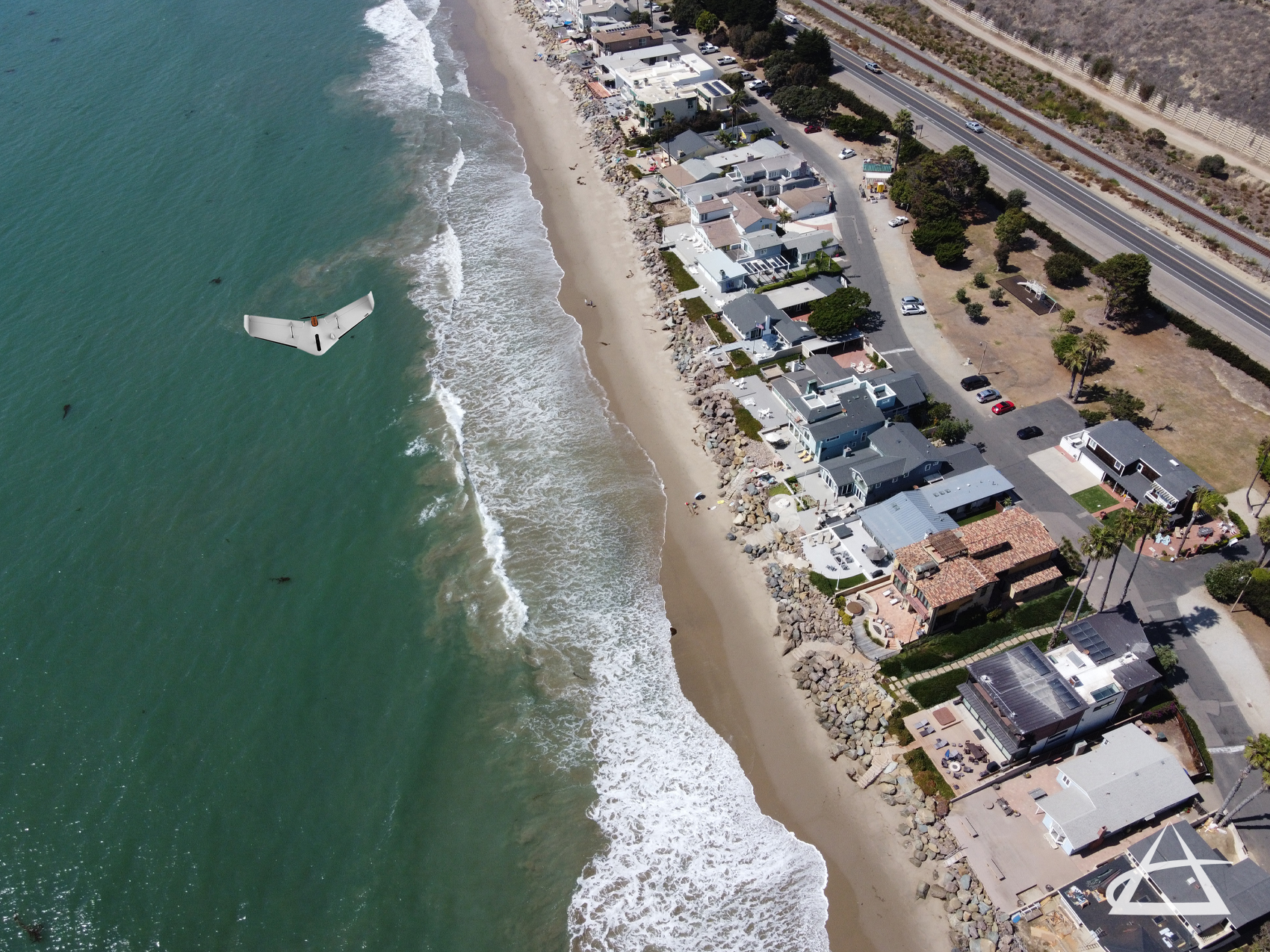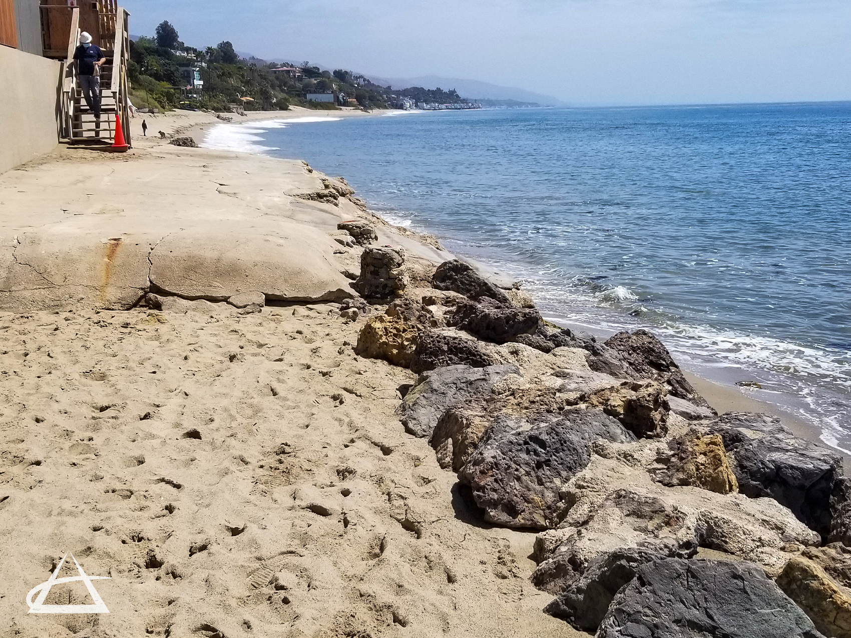
Coastal / Shoreline Mapping
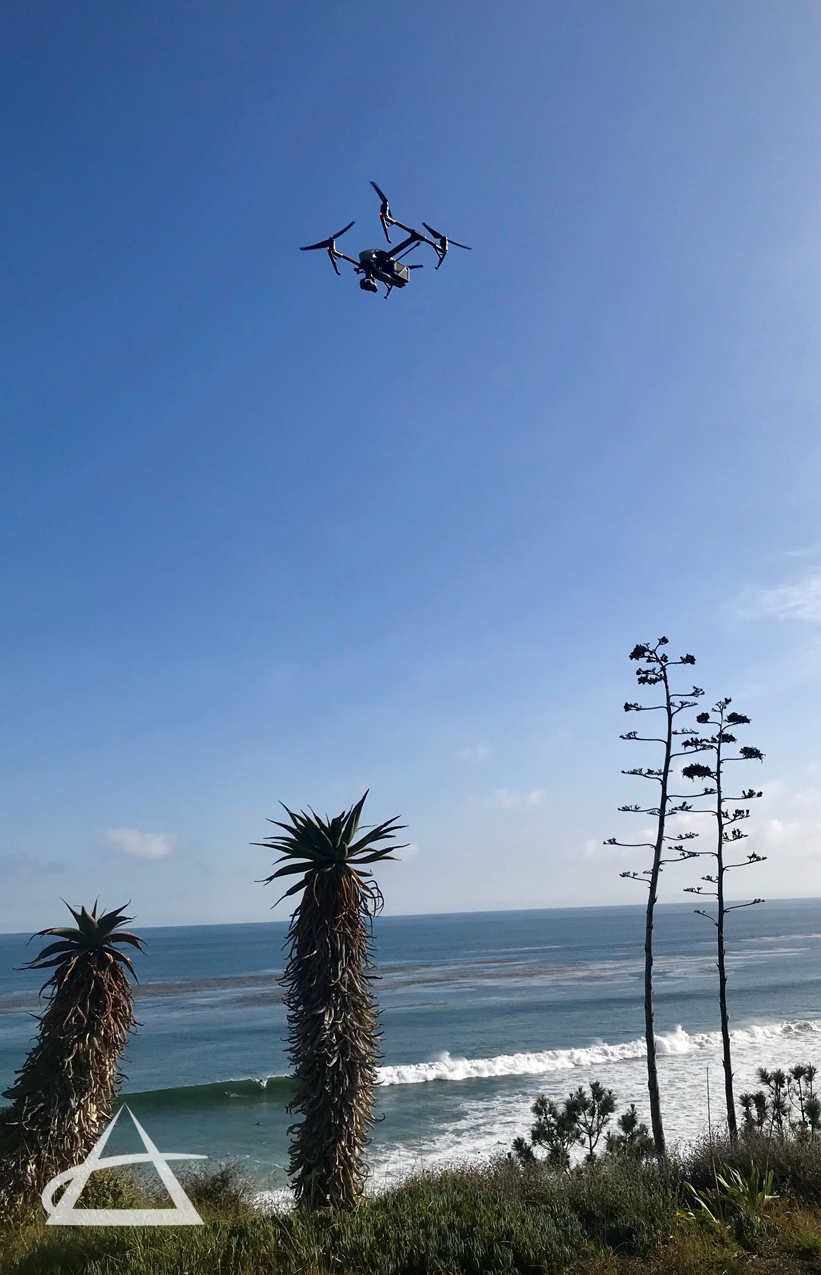
EPOCH employs a range of advanced techniques for mapping shoreline conditions, erosion, barrier island migration, and dune erosion. These detailed maps are crucial for the study and engineering of coastal environments, management of coastal resources, marine and geosciences, as well as maintaining historical records. By utilizing our state-of-the-art unmanned aerial system (UAS) drones in combination with 3D laser scanning, GPS, photogrammetric, and conventional surveying methods, EPOCH can accurately map coastal conditions. This allows us to determine the mean high tide line, identify coastal flood hazard zones, and establish the limits for waterfront property development.
Our team is well-versed in the civil and governmental codes, laws, and regulations set forth by the California State Lands Commission (CLSC). This expertise enables us to assist landowners along coastal areas with precise mapping and monitoring of valuable coastal lands, ensuring compliance and effective management of these critical environments.