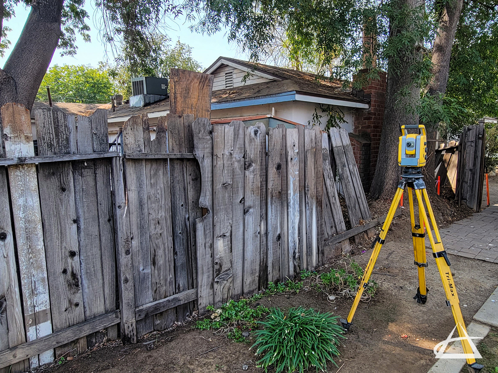
Fence Location Map
It is often assumed that a fence marks the actual boundary line between two properties, but this is not always the case. Fences may be constructed directly on the boundary line or at some distance from it, resulting in what is known as a non-boundary fence. Understanding the precise limits of your property is crucial, especially before undertaking any construction projects involving fences or other improvements.
A fence location map, typically conducted during a boundary survey, accurately determines the position of a fence in relation to property boundary lines. This map also identifies any existing easements or rights of way that might affect property use. It’s important to note that fences are not always built exactly on the boundary line and should not be relied upon for determining setback purposes during construction.
At EPOCH, we specialize in providing detailed and accurate fence location maps to help property owners clearly understand their property boundaries. Our professional surveys ensure that any planned construction is based on accurate information, preventing potential disputes and ensuring compliance with local regulations.