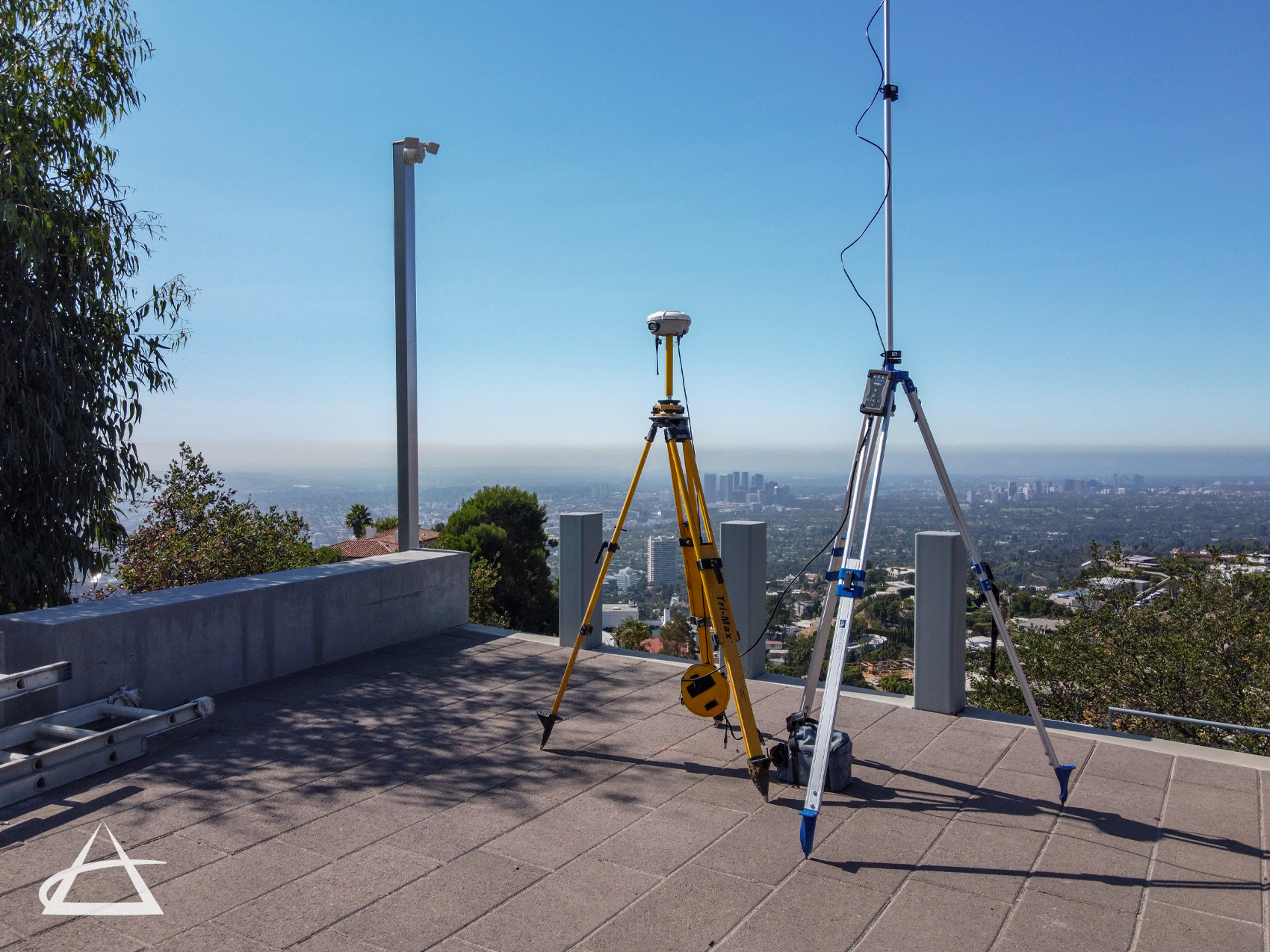
GPS Surveys
Global Positioning System (GPS) technology provides highly accurate coordinates for survey points and often proves much faster than conventional surveying techniques. EPOCH has been performing GPS surveys for decades and stands out as one of the few companies in California to operate its own high-precision GPS base station. This base station is tied to a real-time network, significantly enhancing efficiency and accuracy.
We utilize GPS whenever practical to boost accuracy and productivity in both geodetic control surveys and construction staking. The survey crews at EPOCH consider GPS a vital resource and employ this method whenever feasible. GPS technology enables us to acquire vast amounts of data over large areas, which can then be integrated with Geographic Information System (GIS) attributes for comprehensive indexing and mapping solutions.