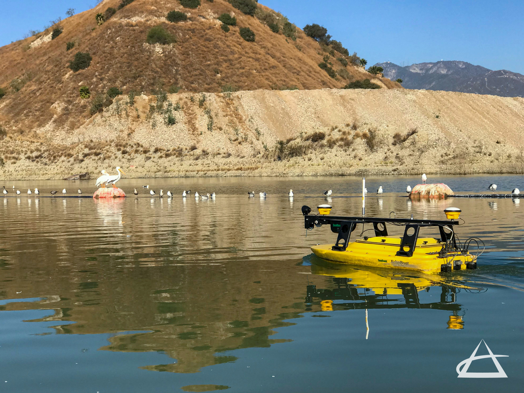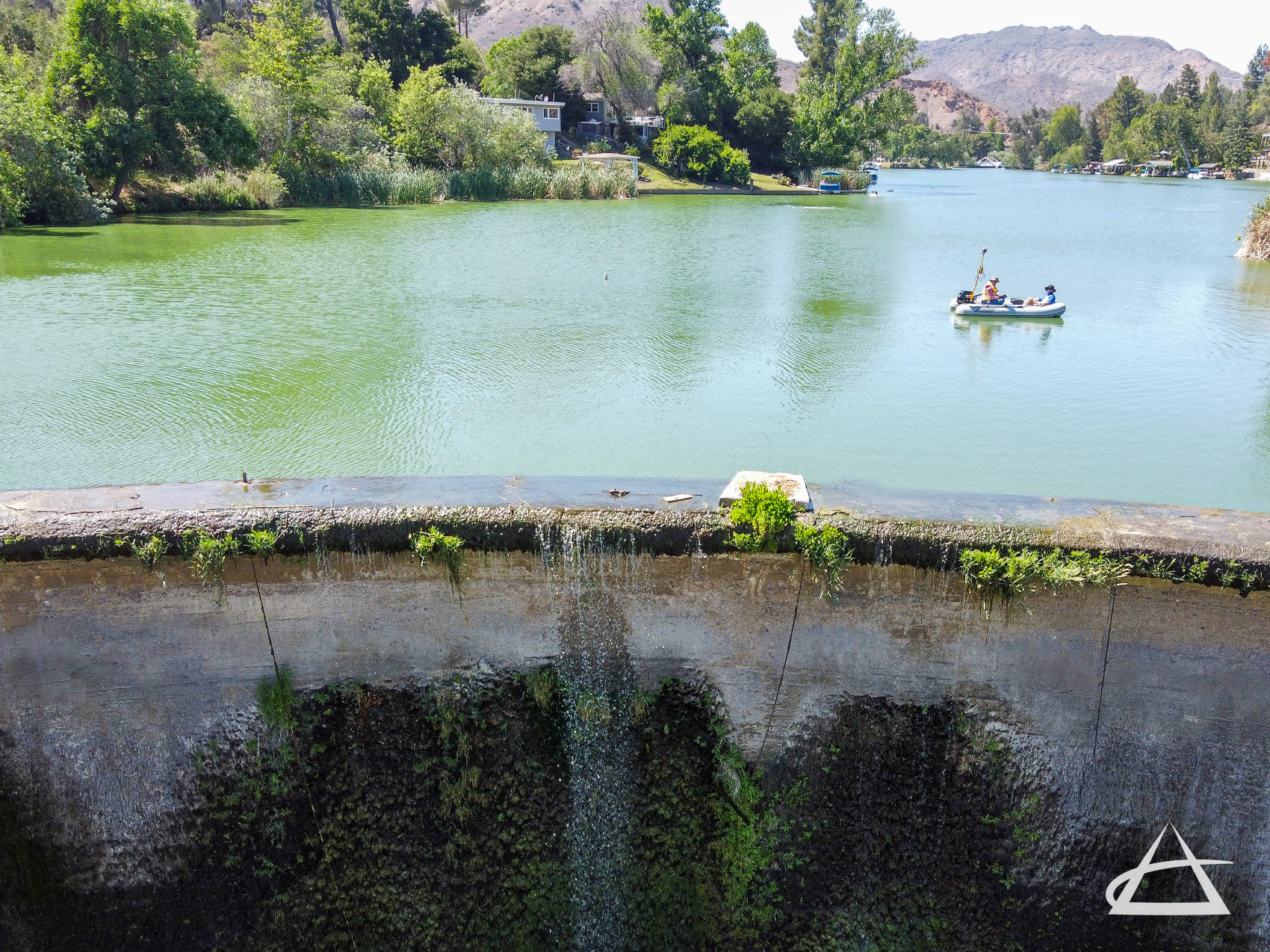
Bathymetric / Hydrographic Surveys
EPOCH specializes in detailed bathymetric and hydrographic surveys to measure water depths and map the topographic features of underwater environments, including seafloors, lake beds, river bottoms, and quarries. Using a combination of manned and unmanned vessels equipped with dual frequency and multibeam echo sounders connected to GPS, we gather precise data on water surfaces and subsurface land formations. This information is then used for shoreline mapping, defining water surface and depth limits, and pinpointing geodetic locations of underwater features. These bathymetric maps, akin to topographic maps, illustrate the contours and elevations of underwater landscapes.
Our surveys reveal critical underwater topography, providing essential insights for managing water bodies, monitoring changes for studies and engineering designs, understanding environmental resources, and supporting the mapping needs of municipalities, agencies, and private sector operations.