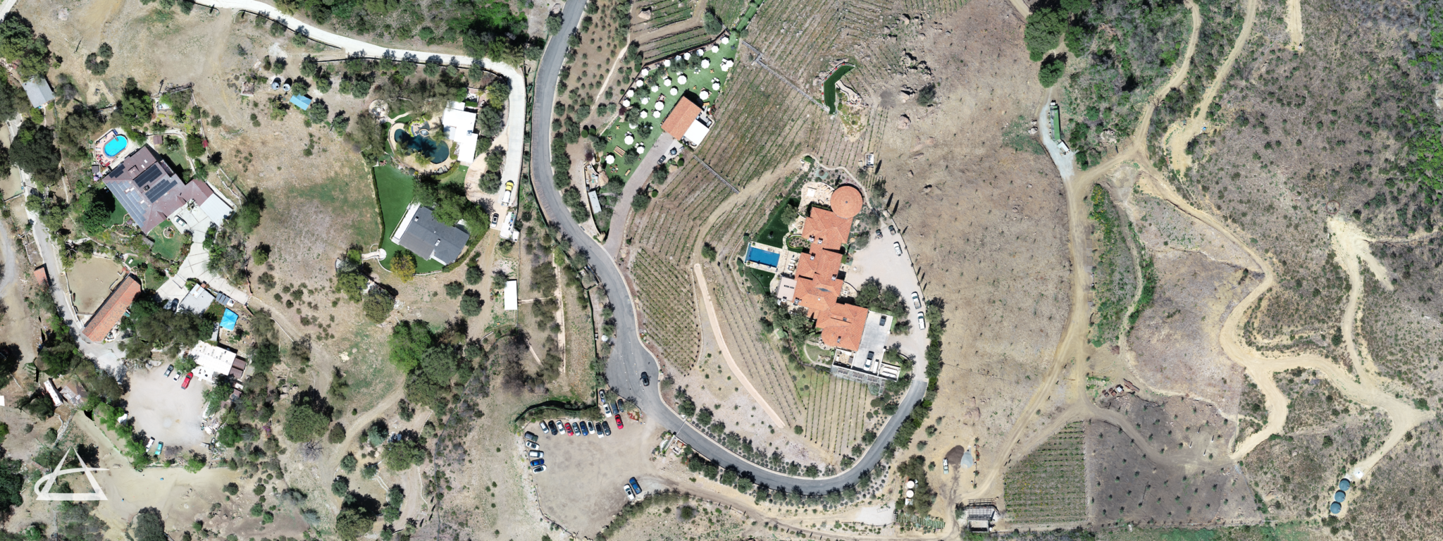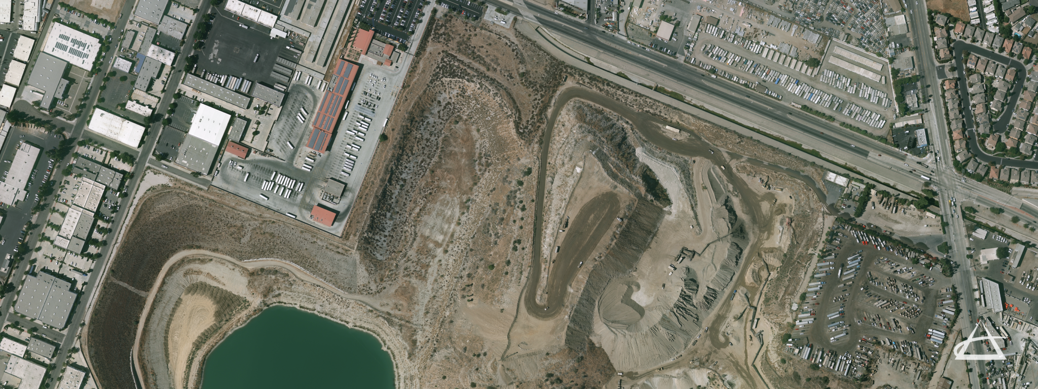
Orthographic Photography
EPOCH employs aerial photography to offer diverse mapping solutions. We utilize a process that geometrically scales aerial photographs to achieve uniform scales, enabling precise distance measurements. By merging multiple photographs, we create detailed ortho-mosaics, which provide high pixel resolution for both small properties and vast landscapes.
This technology allows us to produce highly accurate imagery for design purposes, streamlining the preparation of maps and studies. The detailed ortho-mosaics support accurate planning, analysis, and documentation for various projects.