Surface Modeling
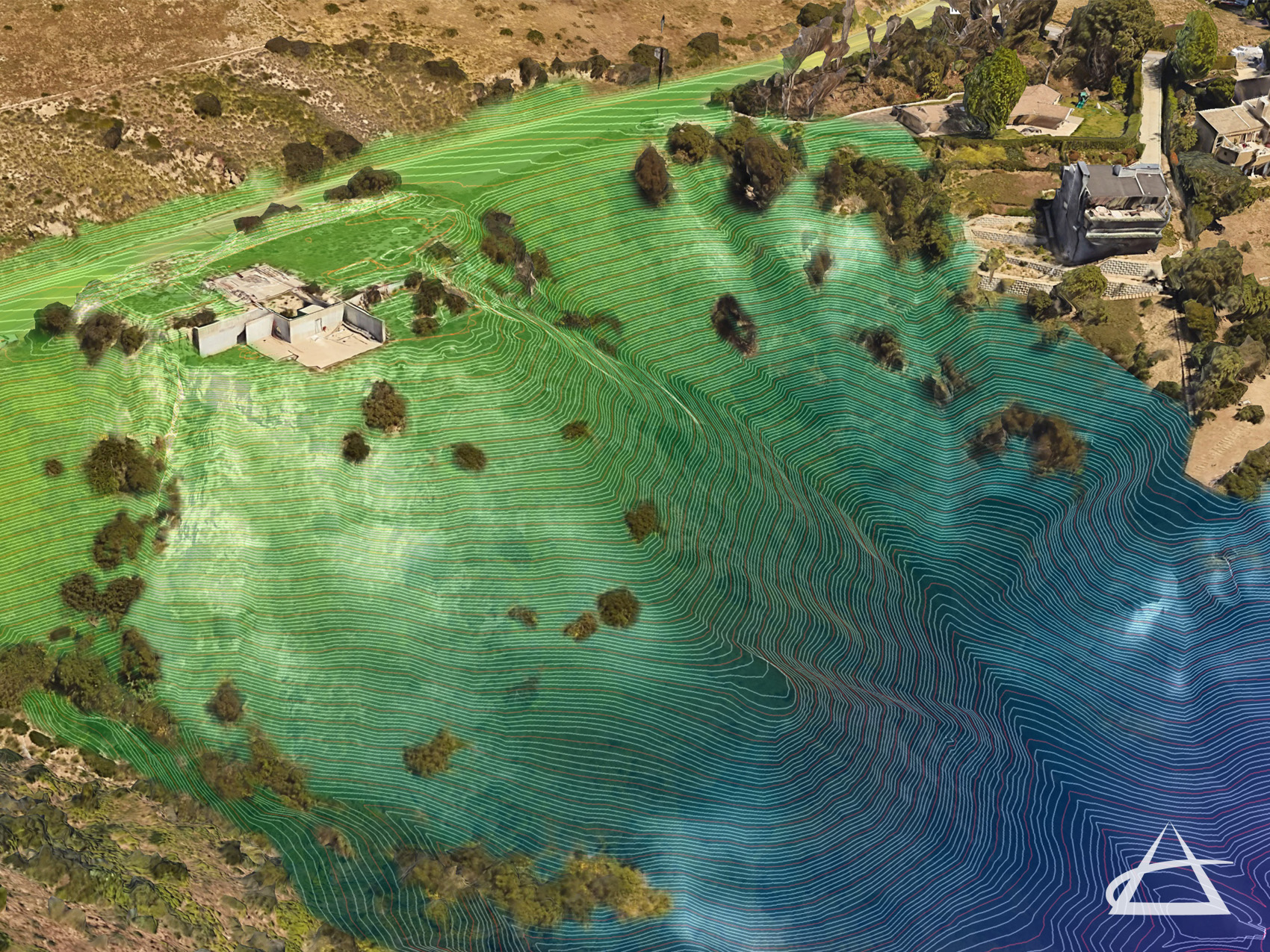
Gathering data for surface modeling was once a labor-intensive and often inaccurate task. Now, with the latest technology, EPOCH creates Digital Elevation Models (DEMs) and Digital Surface Models (DSMs) that accurately represent both natural and man-made features of a project site. These models help in generating contours, performing calculations, and visualizing existing and proposed conditions.
Our surface models are crafted using a blend of conventional survey methods, 3D laser scanners, and high-resolution photo data sets captured by our UAS drones. These datasets are combined into a cohesive point cloud, which is then used to extract detailed contour information, forming the basis of our 3D models. These models underpin many maps and design projects, providing precise data for effective planning and analysis.


