3D Laser Scanning & Point Clouds
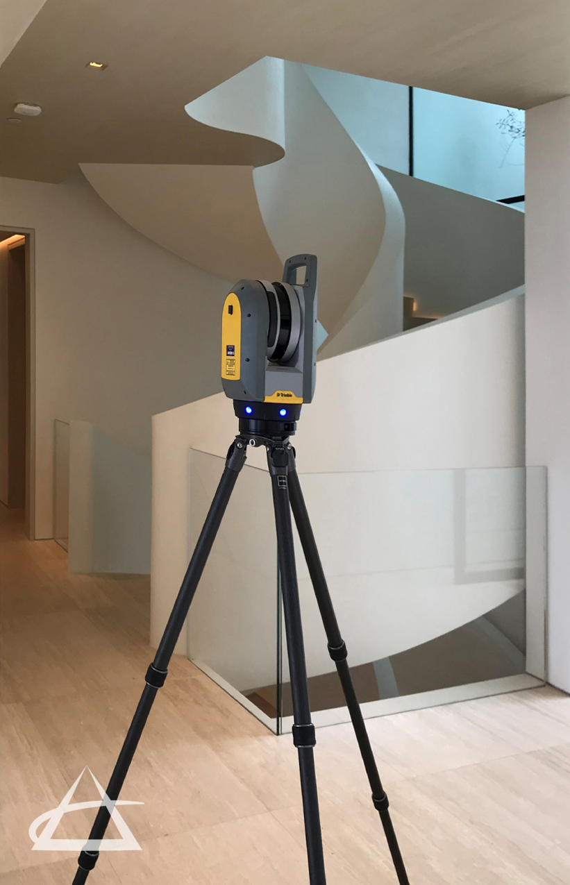
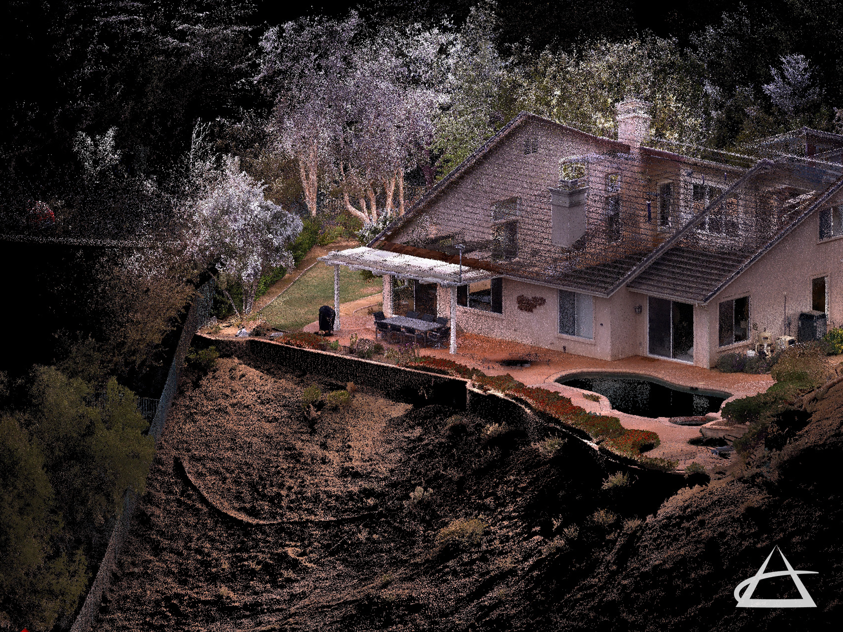
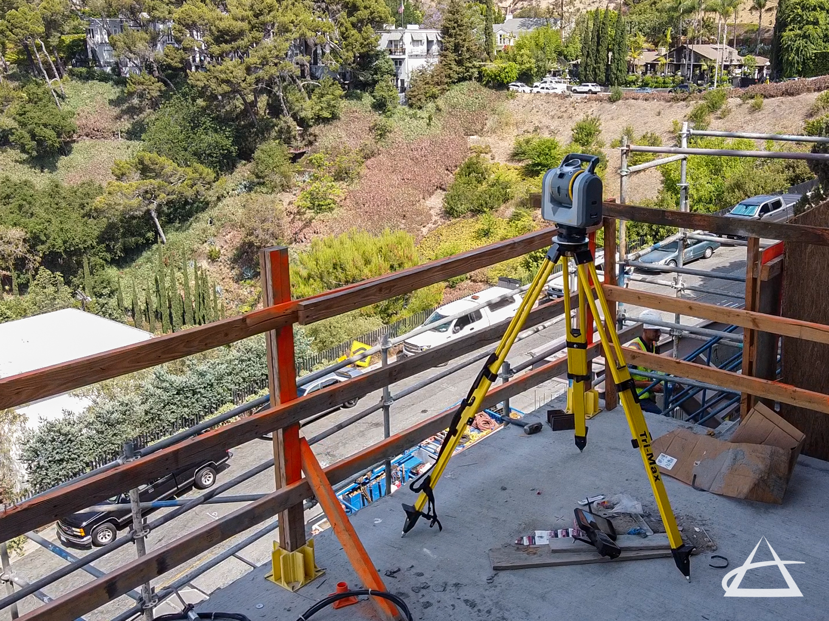
At EPOCH, we utilize advanced Trimble and Leica laser scanners to generate precise 3D point clouds. By capturing millions of data points in three dimensions, we can rapidly visualize extensive areas and document intricate details that are otherwise challenging to convey. These detailed datasets are invaluable across numerous applications, such as 3D surface modeling, architectural visualization, as-built recording, building information modeling (BIM), CAD map drafting, construction progress tracking, monitoring fixed features, building quality inspection, and obtaining accurate measurements.
Our point clouds are created through both ground-based field measurements using high-accuracy 3D scanners and aerial surveys conducted with unmanned aerial system (UAS) drones. Additionally, aerial photographs processed through photogrammetry software help us triangulate common points to build comprehensive point clouds, ensuring accuracy and detail.